Professional Services
From survey equipment to data deliverables, providing end-to-end marine survey solutions

Marine Geological Survey
Use professional surveying equipment to systematically investigate seabed strata structure and geological formations, acquiring key parameters such as lithology, soil distribution, and bedrock depth. This provides reliable geological data for major projects including port construction, cross-sea bridges, and offshore wind farms.
- Seafloor Stratigraphic Lithology Analysis
- Geological Structure Detection and Assessment
- Determination of Physical and Mechanical Parameters of Soil Layers
- Engineering Geological Condition Evaluation

Underwater Bathymetric Survey
Using advanced equipment such as multi-beam echo sounders and side-scan sonar, we perform high-precision underwater topography mapping to generate 3D seabed models. This provides accurate bathymetric data for projects including channel dredging, pipeline installation, and port planning.
- Multibeam Echo Sounding and Full Coverage Survey
- 3D Seafloor Terrain Model Generation
- Underwater Obstacle Detection
- Water Depth Trend Analysis

Marine Environmental Monitoring
Systematically monitor and collect multi-dimensional environmental data—including water quality, hydrology, and meteorology—in target sea areas to provide scientific evidence and data support for marine engineering environmental impact assessments and marine ecological conservation.
- Synchronous Multi-Parameter Water Quality Monitoring
- Hydrodynamic Condition Monitoring
- Meteorological Data Collection and Analysis
- Environmental Impact Assessment Report

Seafloor Pipeline Subsurface Formation Detection
Conduct pipeline route surveys, subsurface strata exploration, and safety assessments for subsea oil/gas pipelines, communication cables, and power cables to ensure safe installation and reliable long-term operation and maintenance monitoring.
- Optimal Route Survey for Pipeline Routing
- Cross-Formation Stability Assessment
- Pipe Burial Depth and Exposure Detection
- Pipeline Safety Monitoring During Operations
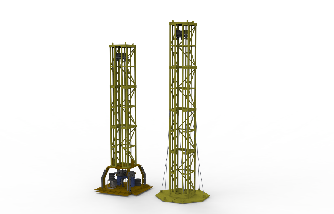
Surveying Equipment Development
Built on 15 years of practical experience and technical expertise in marine surveying, our R&D team has developed multiple series of specialized equipment tailored to various sea regions and operating depths. From conceptual design and system engineering to prototype development and at-sea testing, we execute the entire process independently to ensure reliability and precision under complex marine conditions. We also offer customized solutions for customers, with flexible module adaptation and system integration to meet specific operational requirements.
- Custom device solutions tailored to your operational scenarios
- Multi-Sensor Fusion and System Integration Debugging
- High-Salt, High-Humidity Marine Environment Adaptability Test
- Operations Training, Technical Support, and Long-Term Maintenance
Job Workflow
Standardize workflows to ensure high-quality project delivery
Requirement communication
Understand project background and survey requirements
Solution Design
Survey Planning and Equipment Configuration
Device Deployment
Equipment Transportation and Marine Installation & Commissioning
Data Collection
On-Site Operations and Data Quality Monitoring
Deliverables
Data Processing and Report Submission
Need a customized survey plan?
Tailored marine survey solutions designed to meet your project needs.
Contact Us Now